The Derwent River For Cruise Passengers: Tides, Wildlife And Landmarks
The Derwent runs straight through Hobart and opens into Storm Bay, and almost every cruise from the city uses some slice of it. Here is what the operators' own route descriptions confirm, what the weather station actually records, and which boat goes where.
Short answer
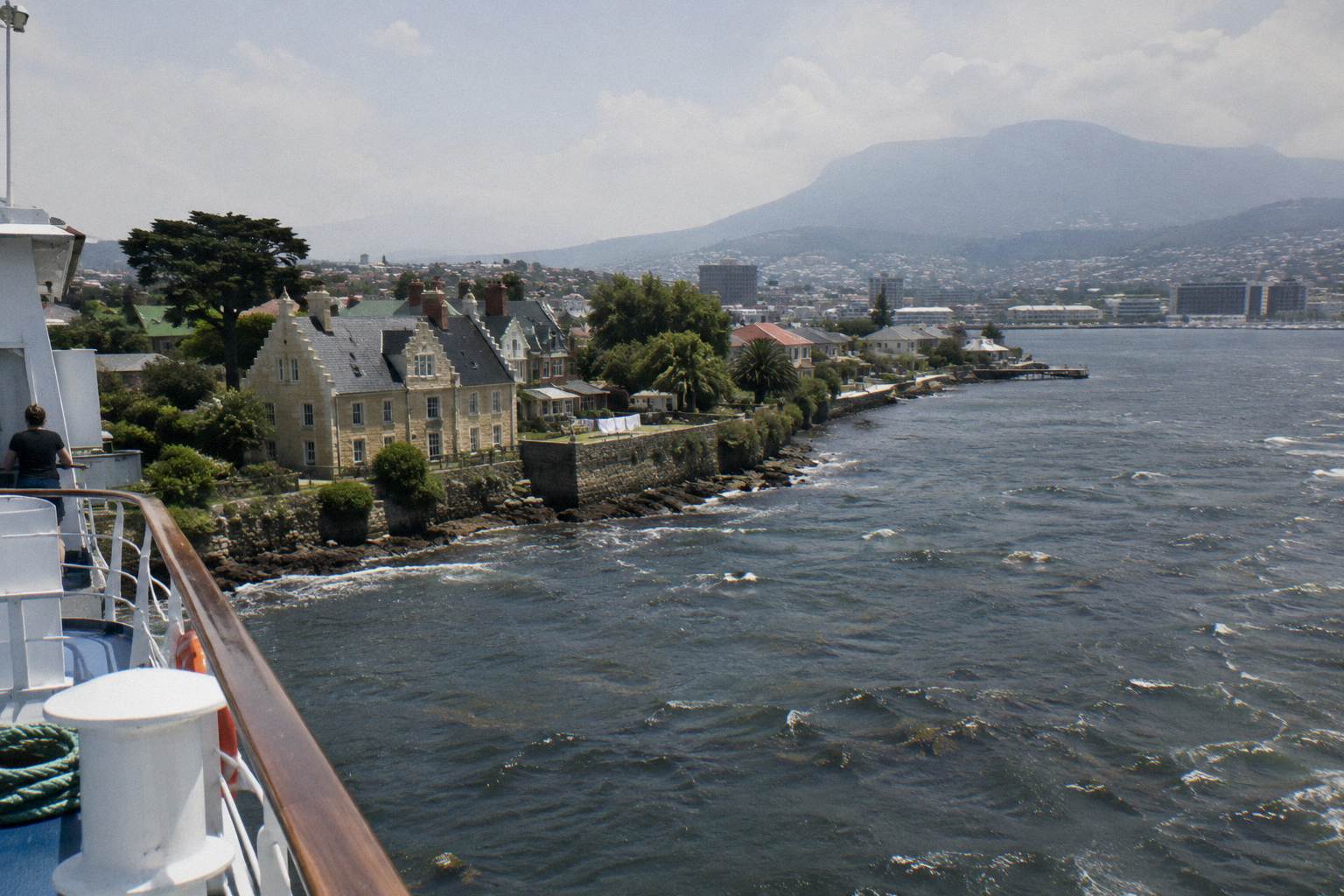
The Derwent River flows through Hobart into Storm Bay. Cruises pass Battery Point, Wrest Point Casino and the Shot Tower heading south; the catamaran route also lists Alum Cliffs and Iron Pot Lighthouse, Tasmania's oldest lighthouse, built by convicts in 1832. No cruise here offers tide, depth or bridge figures; this page sticks to verified operator and Bureau of Meteorology facts.
The Derwent is the reason Hobart has a cruise industry at all. The city sits on the river's western bank, the water widens into an estuary almost immediately, and within a few hundred metres of leaving any downtown pier a boat is already on the stretch of river the operators build their routes around. Understanding what the river actually contains, which landmarks sit where, and what the weather station really records turns a generic boat ride into a decision about which cruise matches what you want to see.
Where Does The Derwent River Go?
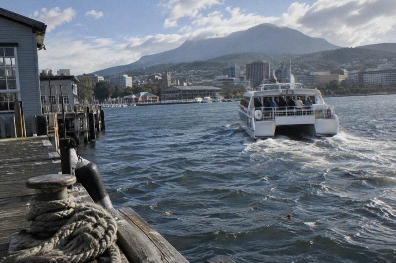
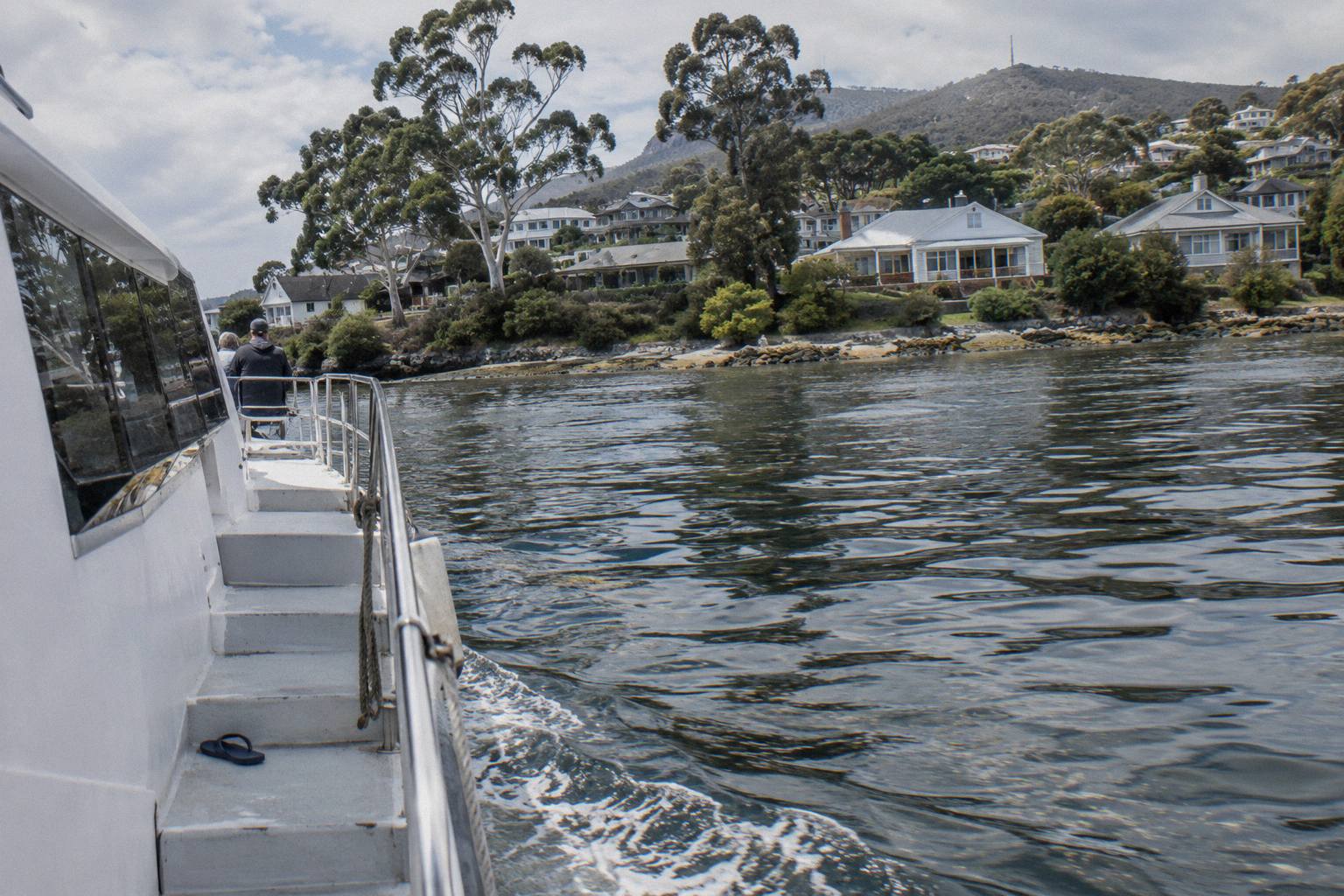
The Derwent River runs through Hobart and reaches Storm Bay at its mouth. Every cruise route described by the operators sits on the lower river and the estuary: the Iron Pot cruise heads down the Derwent past Battery Point, Wrest Point Casino and the Shot Tower to Storm Bay, the Historic Lunch Cruise runs south to Battery Point and Sandy Bay, and the catamaran route lists the Shot Tower, Alum Cliffs and Iron Pot Lighthouse.
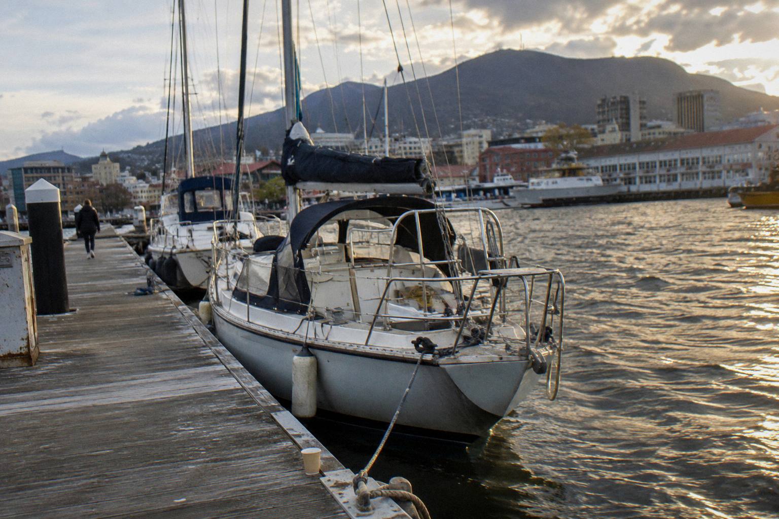
That is the geography, stated conservatively. The operators' route text is the only verified source for what each boat passes, and it lines up with the river's shape: the central business district hugs Sullivans Cove, the river narrows past Battery Point, widens again past Sandy Bay and the casino, and finally opens into Storm Bay where the Iron Pot island sits. Mount Wellington towers over the city, as the operator's own route description puts it, and it dominates the view from almost any point on the water.
What is deliberately absent from this page is the river's physical statistics. Which cruise passes under the Tasman Bridge is not stated by any operator, no bridge dimension is published by the tours here, and the river's length, its tides, its depth and its currents are all equally unstated. If you have read that the Derwent is a certain number of kilometres long or that it drains a particular catchment, that may well be true, but none of the sources behind this page state it, so it does not appear here. For a broader look at the waterway itself, the companion piece on the river that flows through Hobart covers the same geography from a general traveller's angle.
For cruise passengers the practical takeaway is simpler than any statistic. The river you will be on is an estuary, the landmarks cluster on the western and southern shores between the city and Storm Bay, and the further down the river a cruise goes, the more open the water becomes. A one-hour morning cruise and a two-and-a-half-hour lighthouse cruise use the same river very differently, and the rest of this page maps exactly which product covers which ground.
Which Landmarks Will You Actually Pass?
Three landmarks appear across multiple operator routes: Battery Point, Wrest Point Casino and the Shot Tower, all on the run down the Derwent. The Iron Pot cruise adds Storm Bay, uninhabited Betsey Island with gulls, cormorants and white-bellied sea eagle, and Hope Beach, which the operator describes as a favourite of local surfers with swell straight from the Southern Ocean. The catamaran adds Alum Cliffs.
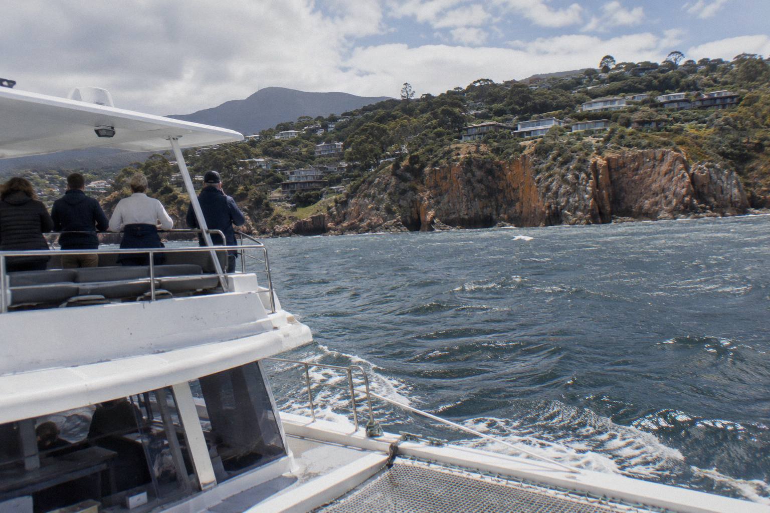
Each of these is named in an operator's own route description, the closest thing to an official word on what a cruise passes. Battery Point is the historic southern edge of the cove, and both the Iron Pot cruise and the Historic Lunch Cruise mention it, the latter pairing it with Sandy Bay. Wrest Point Casino sits on the river further south. The Shot Tower, one of Tasmania's odder industrial relics, appears in both the Iron Pot route text and the catamaran cruise's booking page, which is the only overlap between those two routes beyond the lighthouse itself.
Hope Beach deserves its own sentence. The Iron Pot route text describes seeing it close in, with swell arriving straight from the Southern Ocean, which tells you something honest about the last stretch of the cruise: past a certain point the river stops being a sheltered harbour and starts being open water. That is the same stretch where the operator's child-dressing advice comes from, and it is why the enclosed cabin on Pennicott's vessels earns its keep on the return leg. Our fuller guide to the Iron Pot lighthouse cruise unpacks that route in detail.
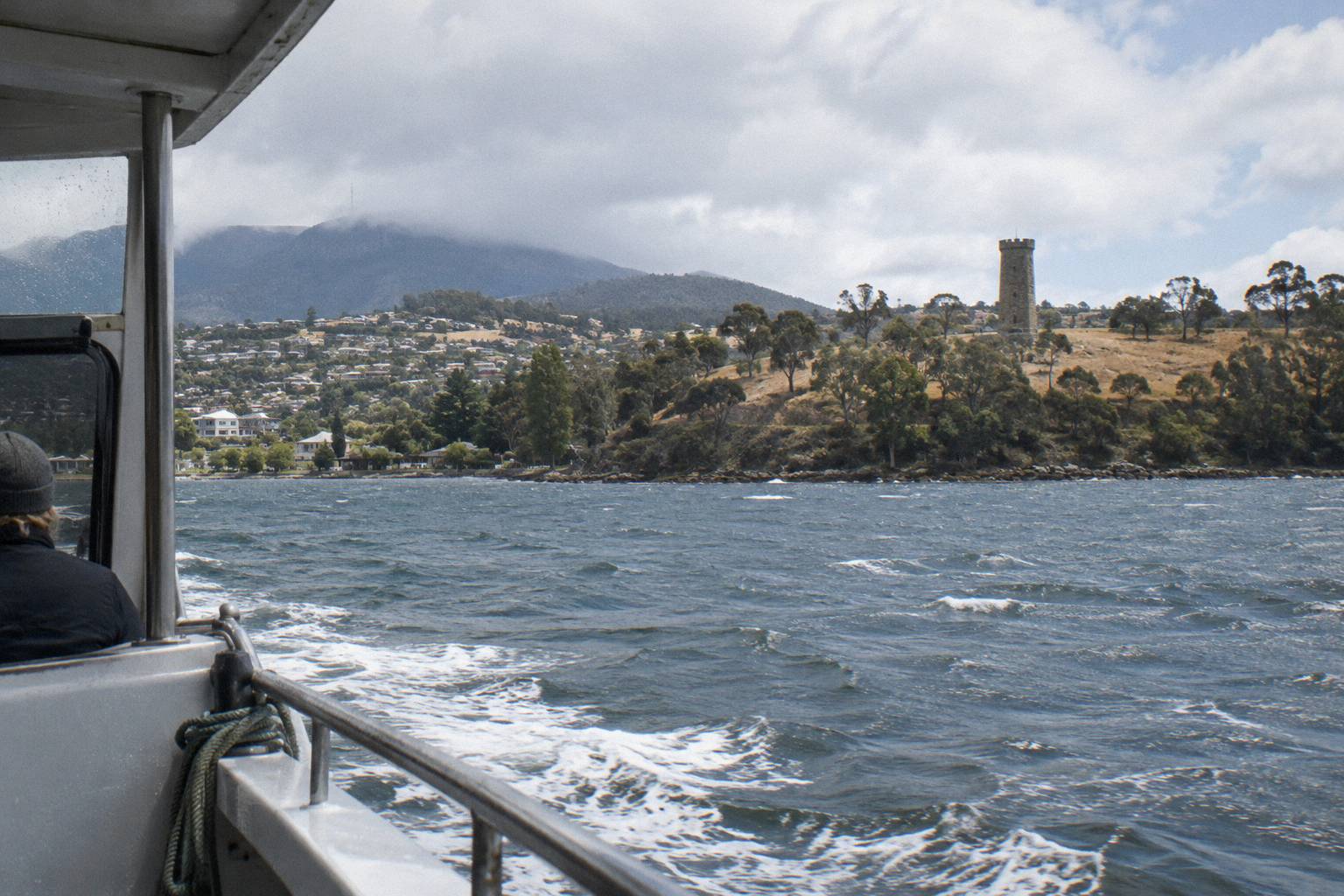
The table below puts the landmarks against the routes that name them. Treat it as a menu of sights, not a promise: no operator guarantees how close the boat passes, and the wildlife entries are descriptions of what lives at Betsey Island rather than a sighting guarantee.
| Cruise | Route landmarks named by the operator |
|---|---|
| 2.5-Hour Iron Pot Lighthouse Cruise | Battery Point, Wrest Point Casino, the Shot Tower, Storm Bay, Betsey Island, Hope Beach, live skipper commentary |
| River Derwent Guided Cruise On A Catamaran | The Shot Tower, Alum Cliffs, Iron Pot Lighthouse |
| Historic Lunch Cruise | South to Battery Point and Sandy Bay, live captain commentary |
| Morning River Cruise | Operator route detail not stated beyond the Murray Street Pier departure |
| Seafood, yacht and Peppermint Bay cruises | Route descriptions centre on the meal or sailing; specific landmark lists not stated |
Which Cruise Goes Where On The River?
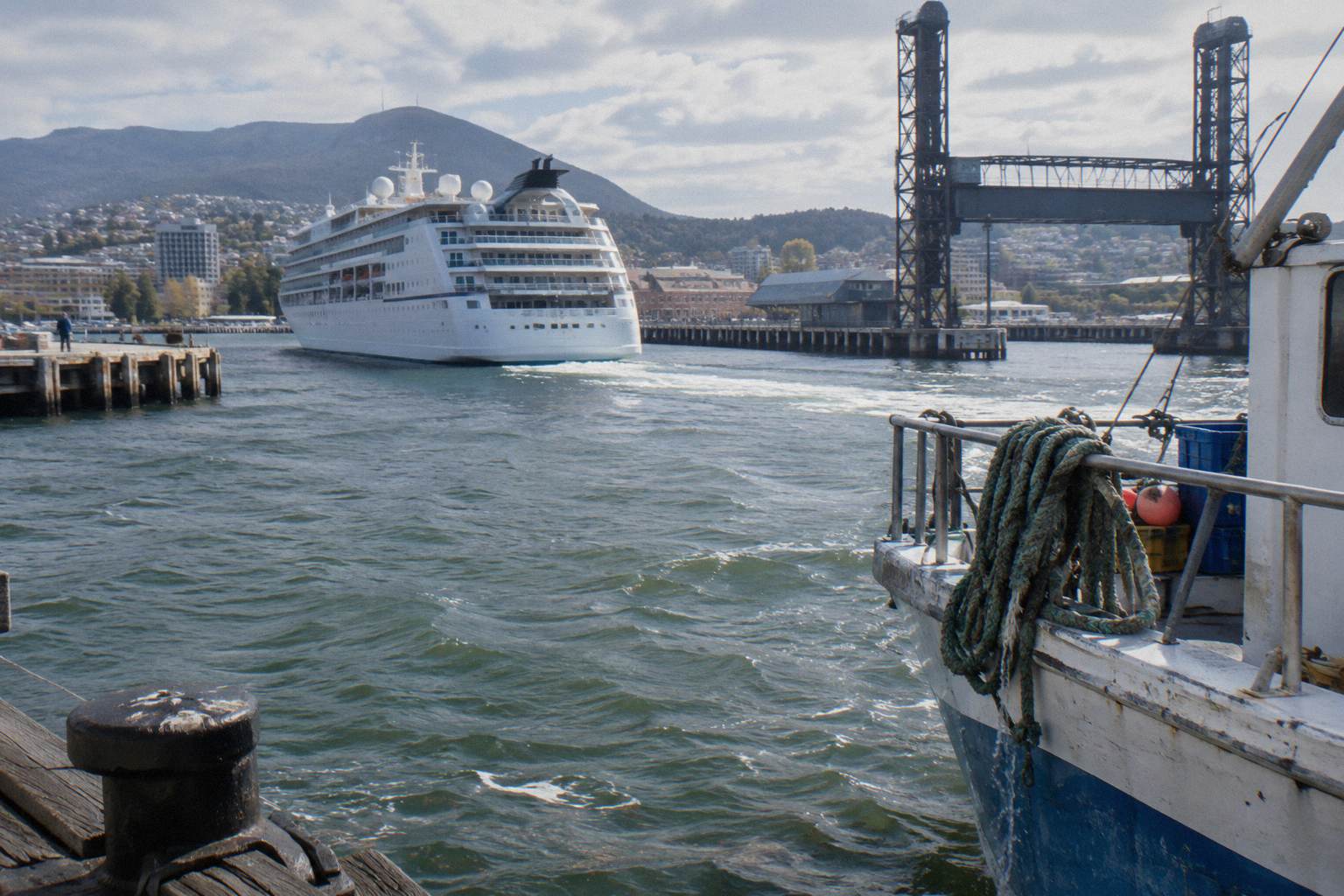
Duration is a reliable proxy for how much river you cover. The Murray Street Pier products stay closest to the city, with the Historic Lunch Cruise described as running south to Battery Point and Sandy Bay. The catamaran from Brooke Street Pier reaches further, its booking page listing the Shot Tower, Alum Cliffs and Iron Pot Lighthouse, though its duration sits between operator statements: the operator's homepage says 90 minutes while a booking page says 1 hour 45 minutes, so the honest range is about 1.5 to 2 hours. Peppermint Bay Cruises, whose own site is at peppermintbay.com.au, runs both that catamaran and the lunch cruise down the Derwent and the channel to Woodbridge.
The Iron Pot cruise is the purest river-to-sea product: 2.5 hours, departing Franklin Wharf, down the Derwent to Storm Bay and back, rated 4.9 across 248 reviews with the operator's price at A$150 adult and A$130 for children aged 1 to 16. It departs 10.00am from December to April and 2.00pm daily year-round, operating every day except Christmas Day, and bookings are essential. Pennicott's booking centre is the Dock Head Building on Franklin Wharf, next to the Constitution Dock lifting bridge, with no parking on site; the nearest options are the Argyle Street and Market Place car parks.
| Cruise | Departure point | Duration | Runs |
|---|---|---|---|
| Morning River Cruise | Murray Street Pier | about 1 hour | Not stated; check availability |
| River Derwent Guided Cruise On A Catamaran | Brooke Street Pier, gate one, boarding 15 minutes early | about 1.5 to 2 hours | Not stated; check availability |
| Historic Lunch Cruise | Murray Street Pier | about 1.5 hours | Not stated; check availability |
| 2.5-Hour Iron Pot Lighthouse Cruise | Franklin Wharf, Dock Head Building | about 2.5 hours | 10.00am December to April, 2.00pm daily, daily except Christmas Day |
| Luxury Yacht Scenic Sailing Tour With Snacks | Kings Pier Marina | about 3 hours | Morning or afternoon |
| Ultimate Seafood Cruise | Elizabeth Street Pier | about 4.5 hours | Not stated; check availability |
| Peppermint Bay Lunch Cruise | Brooke Street Pier | about 5.5 hours | Not stated; check availability |
| Full-Day Gourmet Seafood Cruise | Constitution Dock | about 7.5 hours | Not stated; check availability |
The catamaran deserves a note for families and accessibility: its booking page states the main deck is wheelchair friendly, with children, prams and service animals welcome and two indoor levels with floor-to-ceiling windows. That is a booking-page statement about that boat alone; accessibility facts for the Historic, seafood, yacht and Peppermint Bay cruises are not stated, so ask the operator directly.
The stately option at the long end is the Peppermint Bay product, about 5.5 hours from Brooke Street Pier to the restaurant at Woodbridge and back, on a boat run by the same operator as the catamaran.
What Is The Iron Pot Lighthouse?
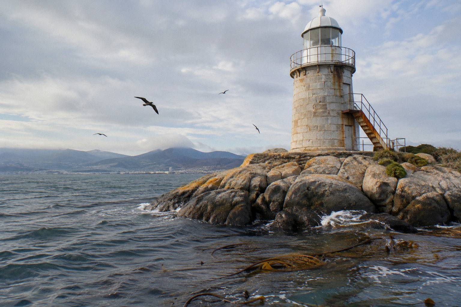
The Iron Pot lighthouse stands on Iron Pot island in Storm Bay at the mouth of the Derwent, built in 1832 with convict labour. It is an 11 metre tower with sandstone walls 1.5 metres thick, a range of 11 nautical miles, and it has been solar powered since 1977. Wikipedia calls it the oldest lighthouse in Tasmania.
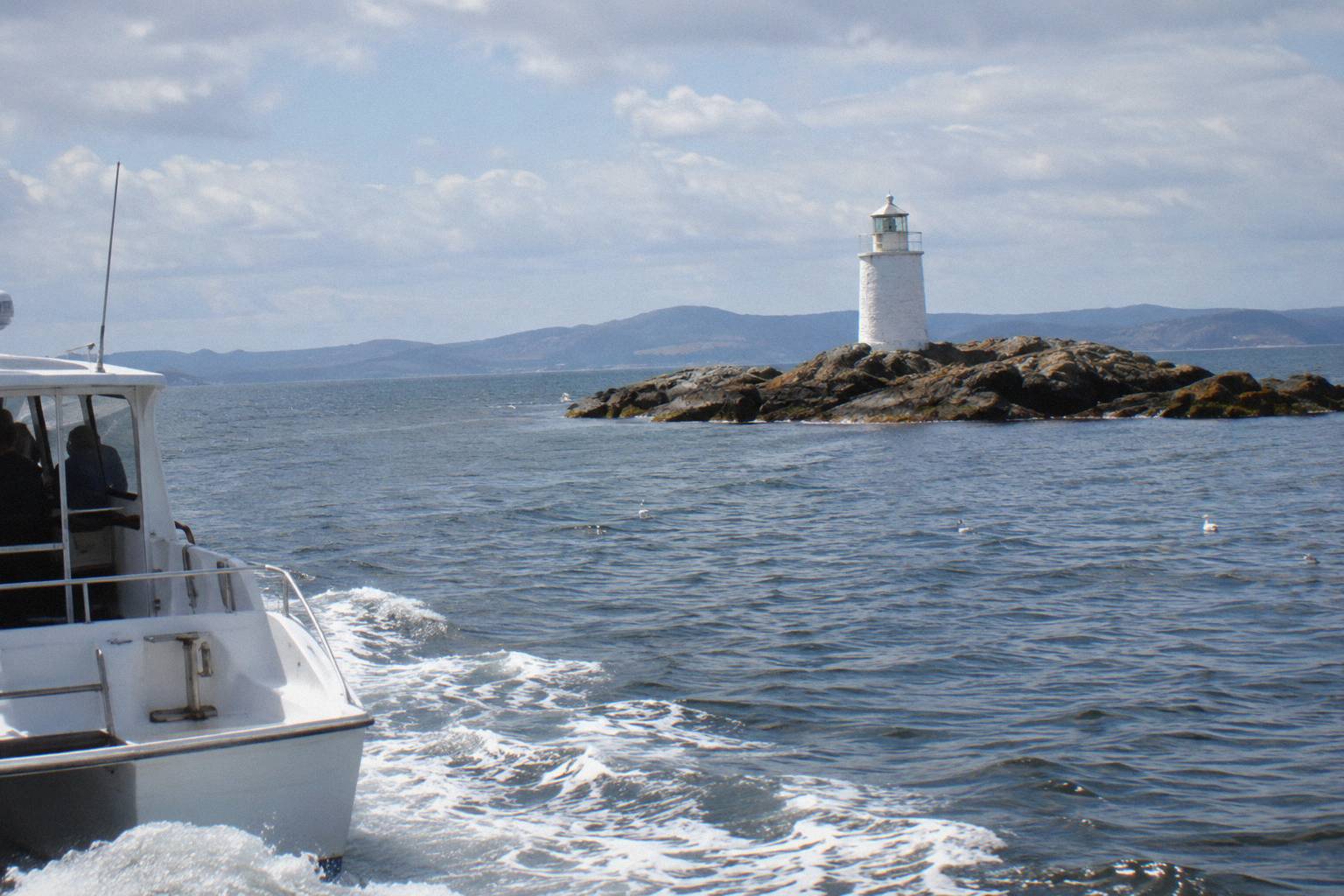
For a cruiser, the lighthouse is the destination that gives the Pennicott product its name and its half of the route. How close the boat comes to the tower is not stated in any operator material, and whether anyone can land on the island is equally unstated, so treat the lighthouse as something seen from the water. The skipper provides live commentary on the way, which the operator says covers the city's rich maritime past; the 1832 construction and the convict labour are the two history facts this site states with confidence.
The lighthouse also anchors the route's sense of distance. Storm Bay is genuinely open water, the swell at Hope Beach arrives straight from the Southern Ocean according to the route text, and the island sits at the point where the Derwent ends and the Southern Ocean begins. Two and a half hours is enough time to reach that threshold, feel the change, and come back, which is why the Iron Pot cruise works as the default "see the whole river" product. You can compare it against the alternatives in the full Hobart boat tours comparison.
What Wildlife Lives Along The Route?
One wildlife claim is verifiable from operator route text: Betsey Island is uninhabited and home to gulls, cormorants and white-bellied sea eagle. That is the complete list. No operator on this roster publishes a whale, seal or dolphin sighting claim, no sighting odds exist anywhere in the source material, and no cruise here is sold as whale watching.
That last point needs stating plainly because search results for the Derwent fill up with whale questions. There is no bookable whale-watching cruise among the tours covered on this site, and this page will not promise a whale, a dolphin or a seal. If seeing the Betsey Island birds matters to you, the Iron Pot cruise is the only route whose operator text names the island, and the birds are described as living there rather than being guaranteed on any given sailing.
The bird list is small but genuine. Gulls and cormorants are common along the whole lower river, and the white-bellied sea eagle is the headline species, a large raptor that nests around Tasmanian coasts and estuaries. The operator's route text names all three at Betsey Island without promising an appearance from any of them, and that is exactly how this page reports it. Beyond those species, wildlife facts for the Derwent are not stated by any source used here, including anything about fish, seals or the river's broader ecology.
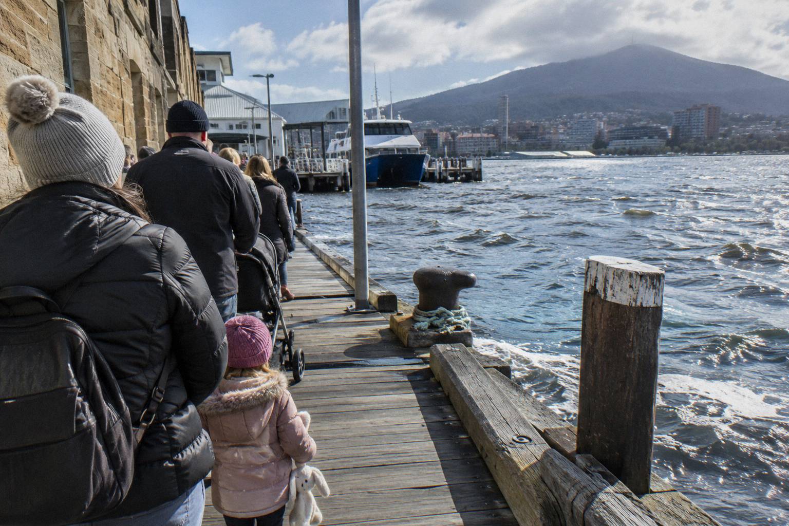
For cruisers weighing the wildlife question against other priorities, the honest framing is this: come for the landscape, the lighthouse and the birds that live on the island, and treat anything else as a bonus. If a wildlife-focused boat trip is the actual goal, the scope changes entirely; Tasman Island and Bruny Island cruises exist but depart from Port Arthur and Adventure Bay respectively, not from Hobart by boat, and our Tasman Island cruises guide covers that separate decision.
What Weather Should You Expect On The Water?
Bureau of Meteorology averages for Hobart (Ellerslie Road, station 094029, recording since 1882) put mean maxima at 21.8 °C in January and 11.9 °C in July, mean minima at 12.1 °C and 4.7 °C, and annual rainfall at 610.5mm across 86.8 rain days of 1mm or more. These are land-station figures: they say nothing about wind, swell or conditions on the water.
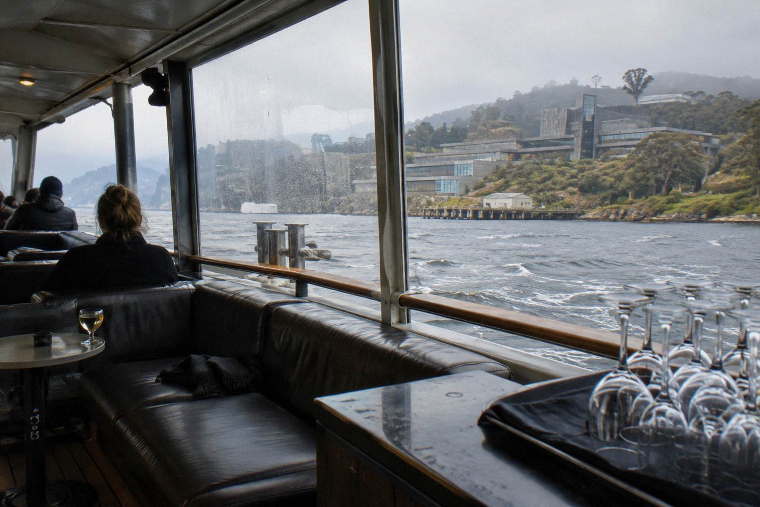
That caveat is not decoration. The single most common mistake in Hobart cruise planning is reading a mild city forecast and assuming the river will match it, when the operator's own advice for the Iron Pot cruise is to dress children warmly "as it does get cold out on the water", and the route text describes Southern Ocean swell at Hope Beach. The Bureau's numbers describe a station on land in Hobart itself; no sea state, wind speed or swell figure is published in any source this site uses. What you can honestly take from the table is the seasonal shape: summer days average around 21.8 °C, winter days around 11.9 °C, and rain falls somewhere in Hobart on roughly 5 to 9 days a month in any season, without ever dominating a month.
| Month | Mean max (C) | Mean min (C) | Mean rain (mm) | Rain days of 1mm+ |
|---|---|---|---|---|
| Jan | 21.8 | 12.1 | 46.3 | 5.6 |
| Feb | 21.8 | 12.1 | 38.6 | 4.9 |
| Mar | 20.3 | 11.0 | 44.1 | 6.1 |
| Apr | 17.5 | 9.0 | 49.1 | 6.8 |
| May | 14.6 | 7.0 | 47.6 | 7.0 |
| Jun | 12.1 | 5.2 | 53.6 | 7.2 |
| Jul | 11.9 | 4.7 | 51.9 | 7.8 |
| Aug | 13.2 | 5.3 | 53.8 | 8.4 |
| Sep | 15.2 | 6.5 | 52.8 | 8.5 |
| Oct | 17.1 | 7.9 | 61.8 | 9.4 |
| Nov | 18.8 | 9.4 | 54.0 | 7.9 |
| Dec | 20.4 | 10.9 | 56.6 | 7.2 |
| Year | 17.1 | 8.4 | 610.5 | 86.8 |
October is the wettest month on average at 61.8mm and carries the most rain days at 9.4, while February is the driest and clearest at 38.6mm across 4.9 rain days. February and January tie on temperature, which makes late summer the statistically friendliest window, though a difference of two or three rain days between months is a nudge, not a plan. Whether any cruise is cancelled for wind or rain is not stated by any operator; only the cancellation terms exist, and those are about charges, not weather calls. Our piece on what to wear on a Hobart cruise translates these averages into a packing list.
What About Tides, Depth And The Bridge?
Nothing. None of the cruise operators on this roster publishes a tide table, a river depth, a current description, a Tasman Bridge clearance figure or even confirmation of which cruise passes under the bridge. This site states that gap once and moves on: the decision content that actually exists is landmarks, durations, departure points and prices where operators publish them.
River trivia is where half the internet's Hobart content goes wrong, so this section exists mostly to close it down. If a page tells you the Derwent is X kilometres long, Y metres deep at some point, or that a particular cruise sails under the Tasman Bridge, ask which operator said so, because none of the sources behind this page did. The gap is easy to work around: tides matter almost nothing to a 1-to-8-hour cruise decision, depth matters not at all to a passenger, and the bridge is visible from the waterfront if seeing it is the goal.
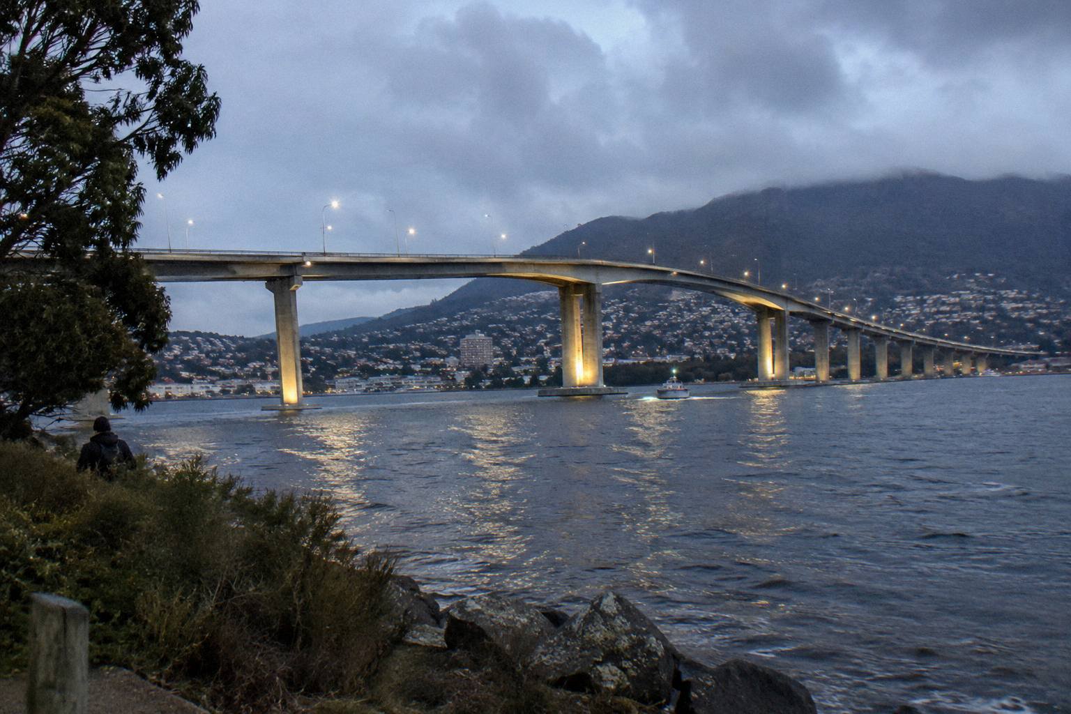
What you can do with verified facts is more useful anyway. Operators publish departure points for every cruise, and those piers sit within a short stretch of waterfront: Franklin Wharf for the Iron Pot cruise and the yacht tour at Kings Pier Marina, Brooke Street Pier for the catamaran and the Peppermint Bay cruise, Murray Street Pier for the two Hobart Historic Cruises products, Constitution Dock for the gourmet seafood cruise and Elizabeth Street Pier for the Ultimate Seafood Cruise. Our Brooke Street Pier departures guide covers the busiest of them, including parking.
The seafood end of the roster is worth a paragraph here because it is the other big use of the river. The Ultimate Seafood Cruise, about 4.5 hours from Elizabeth Street Pier on a spacious catamaran crewed by commercial fishermen and women who own and operate the cruise, serves a degustation of abalone, rock lobster, oysters, mussels, sea urchin, periwinkles and Tasmanian Atlantic salmon with local drinks, a cheese platter and cake. The Full-Day Gourmet Seafood Cruise, about 7.5 hours from Constitution Dock, lists rock lobster, salmon, freshly shucked oysters and local wines, beers, ciders and juice, and carries a 5.0 rating across 20 reviews.
For a sailing experience rather than a motor cruise, Hobart Yachts runs a sailing yacht from Kings Pier Marina, about 3 hours, morning or afternoon, with snacks and non-alcoholic drinks. Its price is not verified and does not appear here; check the booking page.
When To Go, And How To Book Smart?
Statistically, February offers the driest, warmest averages (21.8 °C max, 4.9 rain days), while the Iron Pot cruise runs 10.00am departures only from December to April and 2.00pm daily year-round, every day except Christmas Day. Bookings are essential for Pennicott products, and the booking pages across the roster offer cancellation up to 24 hours in advance for a full refund.
The seasonal logic splits into two questions. The first is weather, answered above: late summer averages are the friendliest, but no month is a write-off and none is a guarantee. The second is scheduling, which depends on the cruise. The Iron Pot product has the only fully published timetable on the roster, with the morning departure running in the December-to-April window and the afternoon departure all year. Every other cruise's start times are not stated, so check availability for each; the Peppermint Bay operator's own Sunday cruise-and-lunch product departs Brooke Street Pier at 10.30am on select Sundays with 2026/27 season dates live from Sunday 8 November, but that is the operator's Sunday product, not the roster's 5.5-hour lunch cruise.
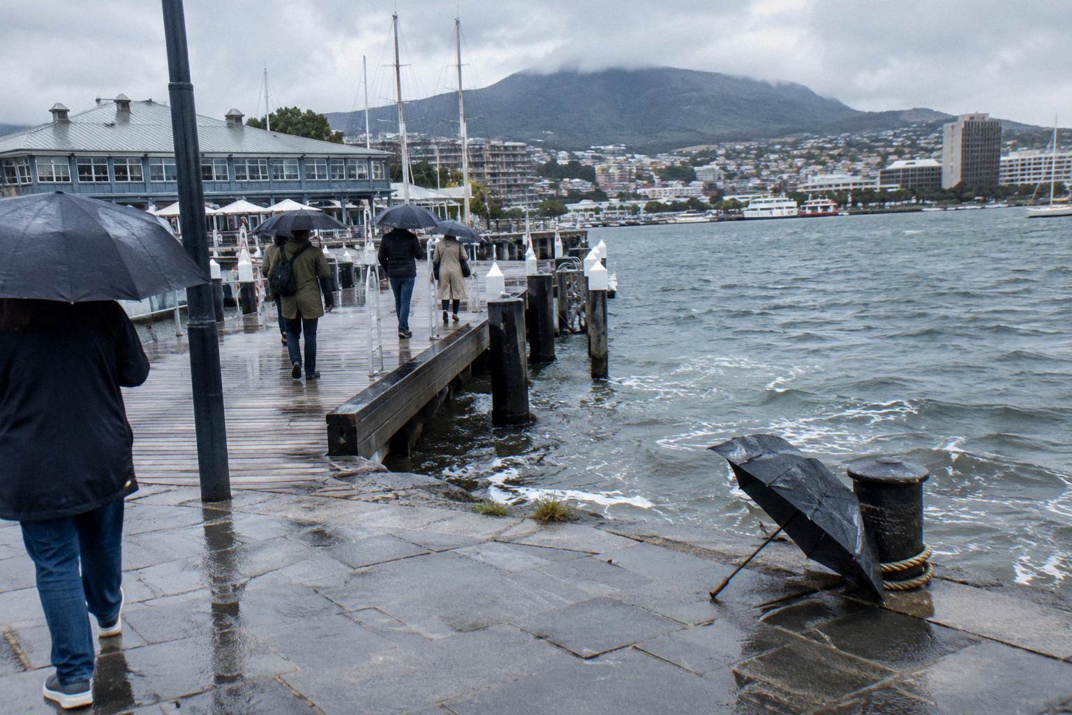
Booking terms matter more than most people read them. Pennicott's own terms charge 100% within 24 hours of departure and 50% within 48 hours, though the Iron Pot booking page offers free cancellation up to 24 hours in advance; a booking made through a third-party retailer carries that retailer's policy instead. The booking pages for the other roster tours say cancel up to 24 hours in advance for a full refund. Pennicott's phone number for questions, including accessibility, is (03) 6234 4270, and the operator publishes an accessibility guide for the Iron Pot cruise without listing that vessel as wheelchair accessible, so call before booking if that matters to you. How far ahead any cruise sells out is not stated, so treat "essential" as the operator's word and book early in peak summer.
Two neighbouring museums of a sort sit at the edges of this topic. The MONA ferry, run by the museum itself from Brooke Street Pier from A$32 with museum entry a separate ticket, is a transport service rather than a sightseeing cruise and is covered fully in our MONA ferry guide. And if your real question is whether a river cruise earns its fare at all, the honest answer, product by product, sits in whether a Hobart cruise is worth it.
The river itself is the constant. It was the highway convicts built a lighthouse for in 1832, the water the Shot Tower and the casino both face, and the reason eight different operators can sell eight different days out from the same half-mile of waterfront. Pick the slice of it you want: the birds at Betsey Island, a steak on the way to Sandy Bay, or a lighthouse at the mouth of everything.
Common Questions About The Derwent River
Where Does The Derwent River Start And End?
The Derwent River runs through Hobart and reaches Storm Bay at its mouth. The sources used on this site do not state the river's full length or its upstream source, so no figure appears here; what matters for cruisers is the lower river and estuary between the Hobart waterfront and Storm Bay.
Which Hobart Cruise Passes The Most Landmarks?
The 2.5-Hour Iron Pot Lighthouse Cruise names the most in its operator route text: Battery Point, Wrest Point Casino, the Shot Tower, Storm Bay, Betsey Island and Hope Beach, with live skipper commentary. The catamaran cruise adds Alum Cliffs to a shorter list, and the Historic Lunch Cruise covers Battery Point and Sandy Bay.
Will I See Whales Or Dolphins On A Derwent Cruise?
No operator on this roster promises whales, dolphins or seals, and no whale-watching cruise is bookable among the tours covered here. The only wildlife in operator route text is the birdlife on uninhabited Betsey Island: gulls, cormorants and white-bellied sea eagle.
How Old Is The Iron Pot Lighthouse?
It was built in 1832 with convict labour on Iron Pot island in Storm Bay. It is an 11 metre sandstone tower with walls 1.5 metres thick, a range of 11 nautical miles, solar powered since 1977, and it is Tasmania's oldest lighthouse.
Does Any Hobart Cruise Go Under The Tasman Bridge?
Not stated. No operator confirms which cruise, if any, passes under the Tasman Bridge, and no bridge dimensions appear in any source this site uses. If a tour description claims it, ask the operator directly before booking.
What Is The Weather Like On The Derwent?
Hobart averages from the Bureau of Meteorology (station 094029, recording since 1882) run from 21.8 °C maxima in January to 11.9 °C in July, with 610.5mm of rain a year. These are land figures and say nothing about wind or swell on the water; operators advise warm clothing even in summer because it does get cold out on the water.